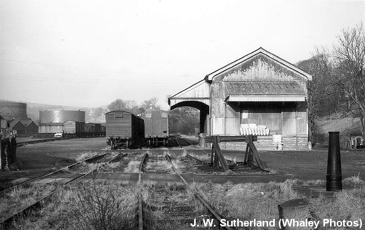
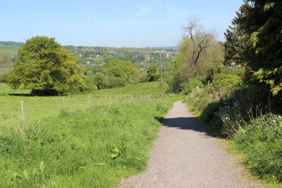
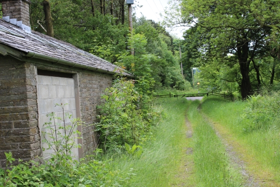
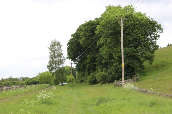
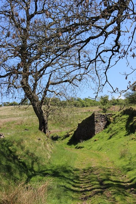
The start of the longish, 1 in 10 incline at 817 yards. Right: This was the site of the wheel pit and where wagons were attached and detached to the pulling wire. (See below).
(THE GOYT VALLEY)
From a walk on Saturday 17th May 2014)
(Update 2016)
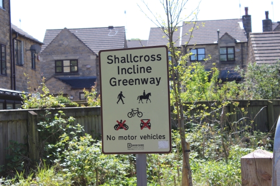
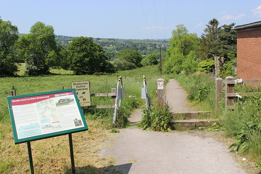
Shallcross Incline To Bunsall Incline
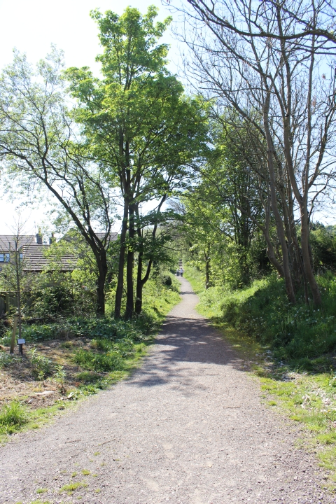
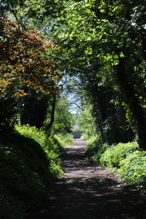
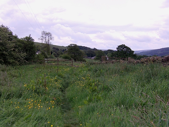
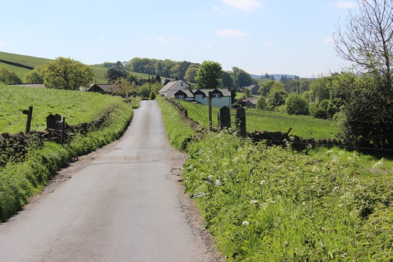
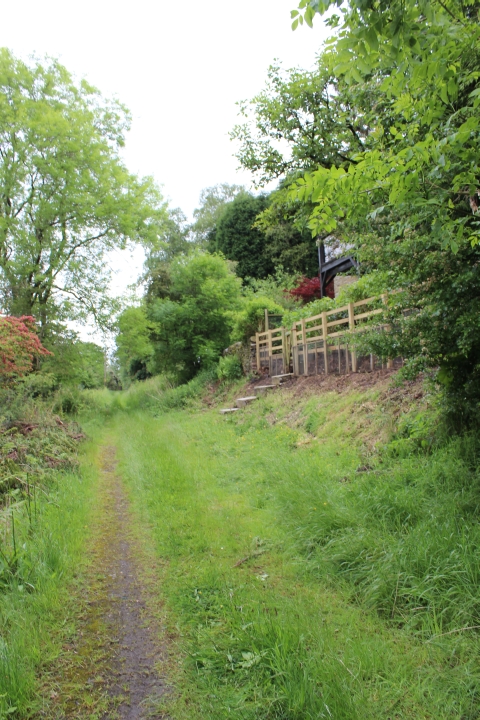
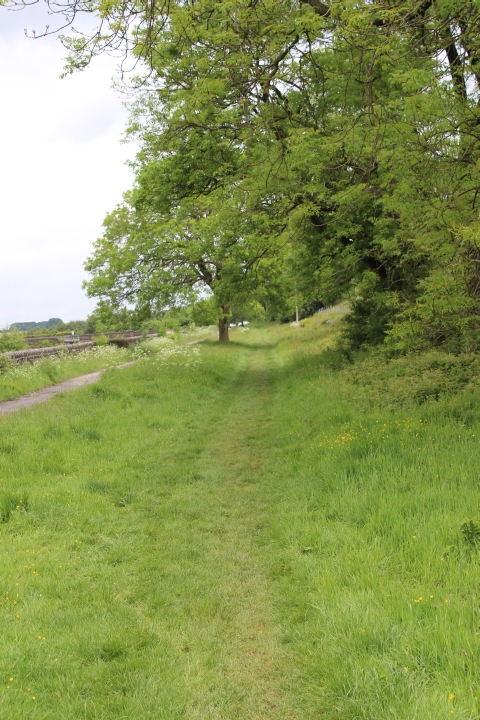
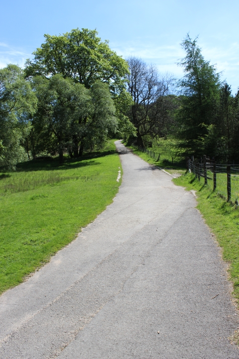
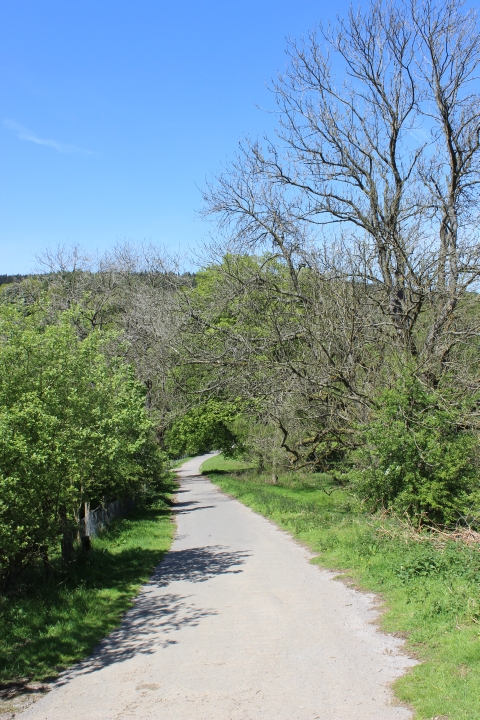
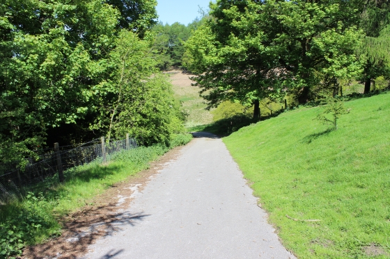
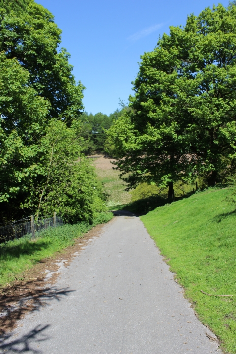
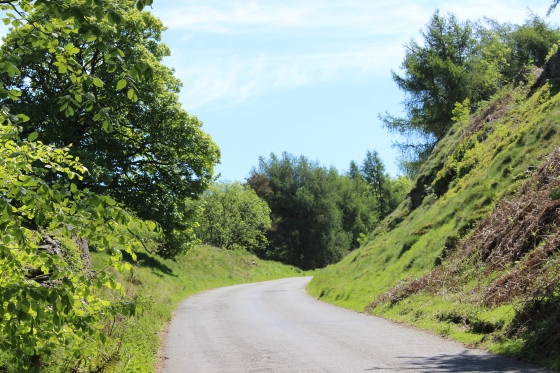
We now cover the section from the base of Shallcross incline to Bunsall Incline. From the top of the icline the track bed is blocked off and you have to walk around this onto the main road
road and meet the track bed farther south by crossing a field. Then on to Fernilee village (Ex Station site). The track bed is blocked from the south end of Fernille whee the railway dropped
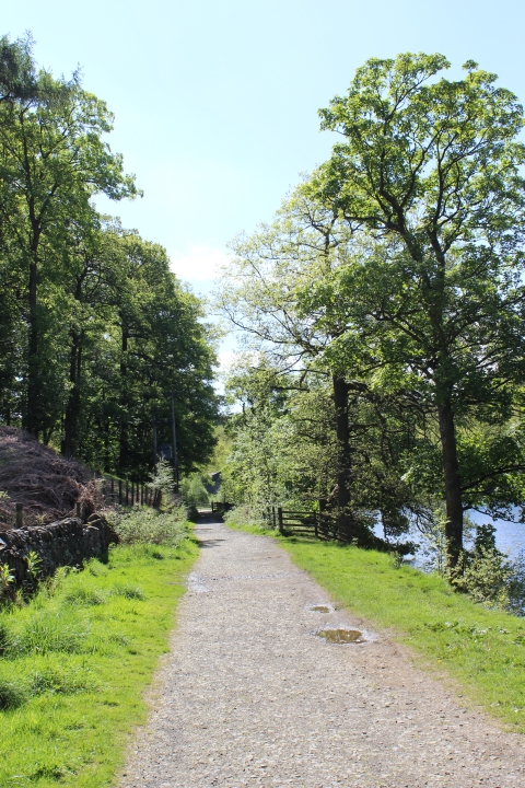
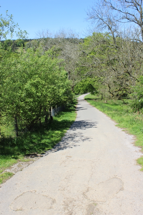
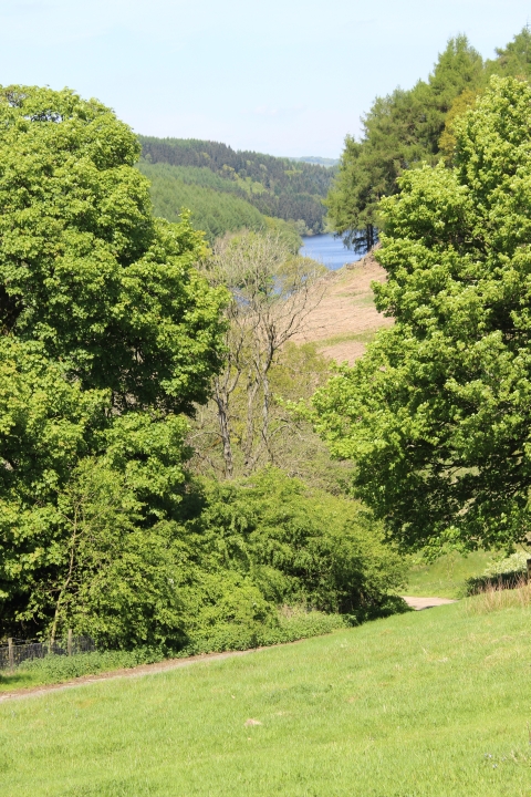
below the road. There is a good mile and a half walk along the road to the side road that takes you down to the north end of Fernilee Reservoir. The track bed follows the east side of the
reservoir for agood couple of miles miles where you come to the south base of the first Bunall incline. The first incline is impassible but you walk up the steep road to the right up to the
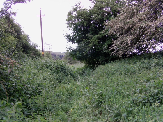
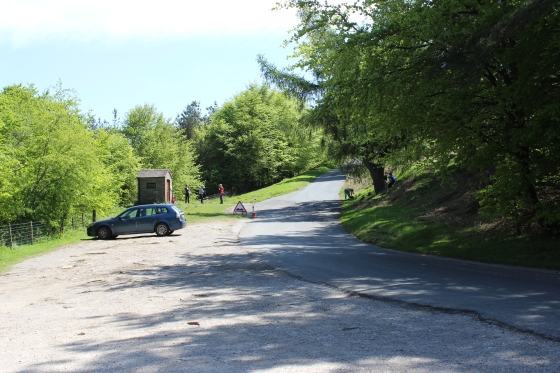
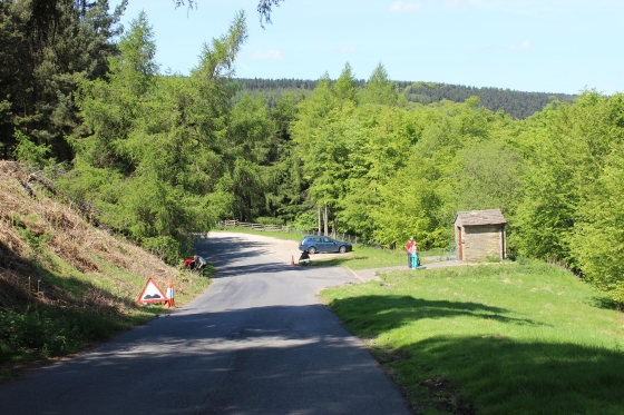
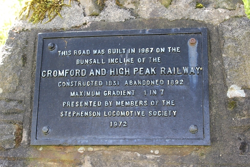
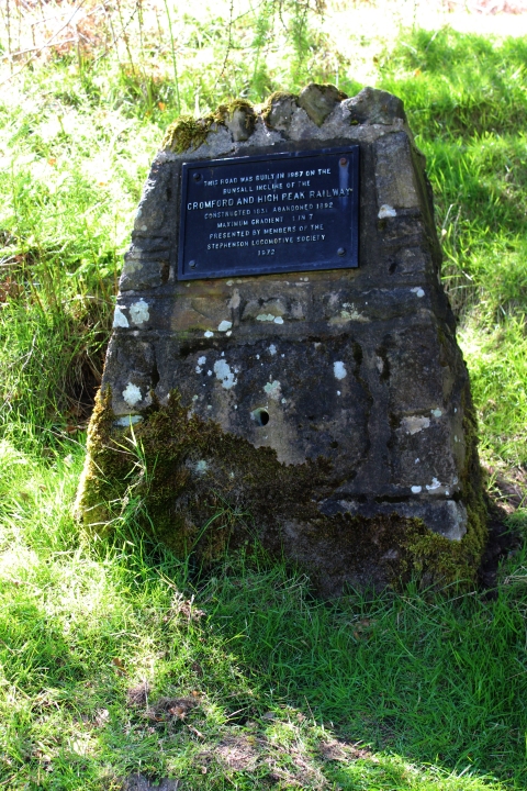
Errwood Reservoir road. Turn left and walk around the short curve to reach the top of the first incline and the start of the second incline. At this spot there is a toilet block and a stone marking
the incline and explaining when it was turned into a road. The road is primarily for connection to Errwood and Fernilee reservoirs.
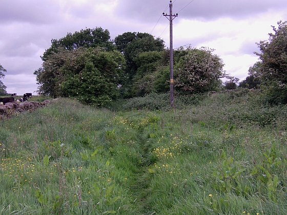
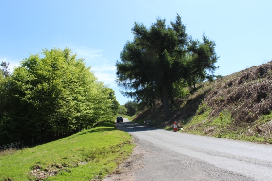
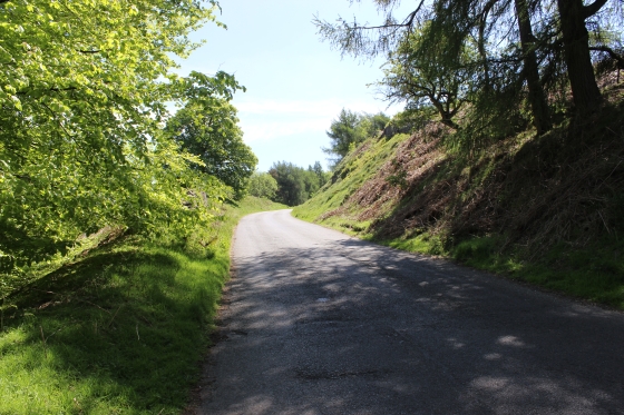
The second incline climbs to the top where it diverts from the track bed and turns eastwards along Goyt Lane to meet the Whaley Bridge-Buxton Road. There is a bus stop at the junction.
The railway track bed, which is gated by the side of the road continues southwards towards Burbage and Ladmanlow. In between is the Burbage tunnel, which is blocked off at both ends.
I ended my walk on Bunsall Incline as I was running out of time for the walk back to Whaley Bridge and my train back home. The Tunnel section is for another time.
The start of the longish, 1 in 10 incline at 817 yards. Right: This was the site of the wheel pit and where wagons were attached and detached to the pulling wire. (See below).
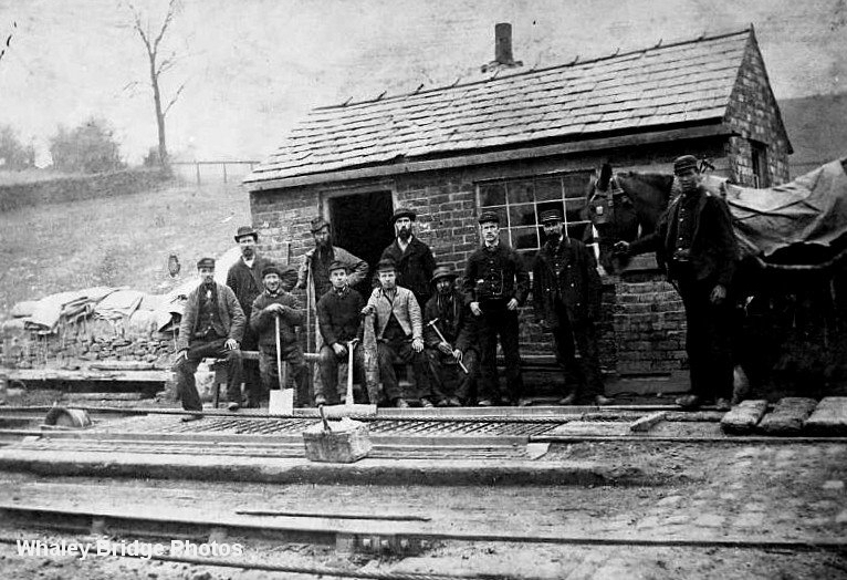
This photo captures the scene as well as some of the staff at the time at the foot of the incline, with the wire-wheel pit in situation.
The incline closed in 1892, which makes this photo a bit older than that year.
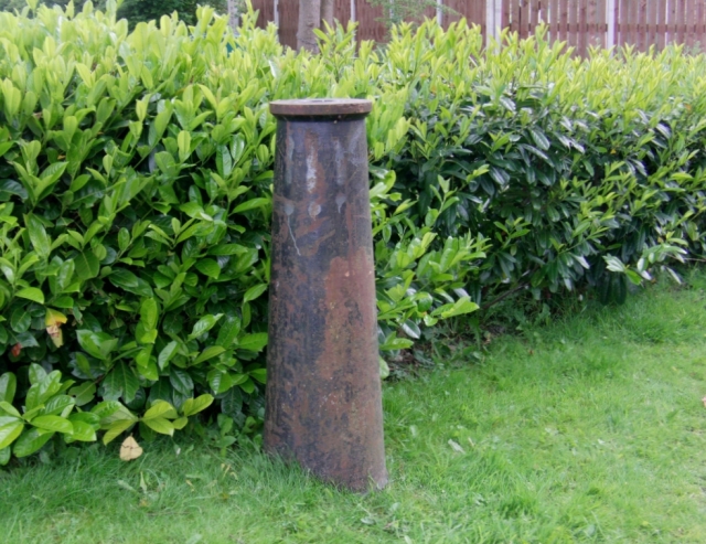
The spindle of the Shallcross Goods Yard Crane still exists by the bottom of the incline. (5th. June 2014).
A reverse view from the crane spindle, at the base of the incline, giving a fine view of the goods yard, towards Whaley Bridge.
(J. W. Sutherland). The two lines would have been too and from the incline and with buffer stops just behind the cameraman.

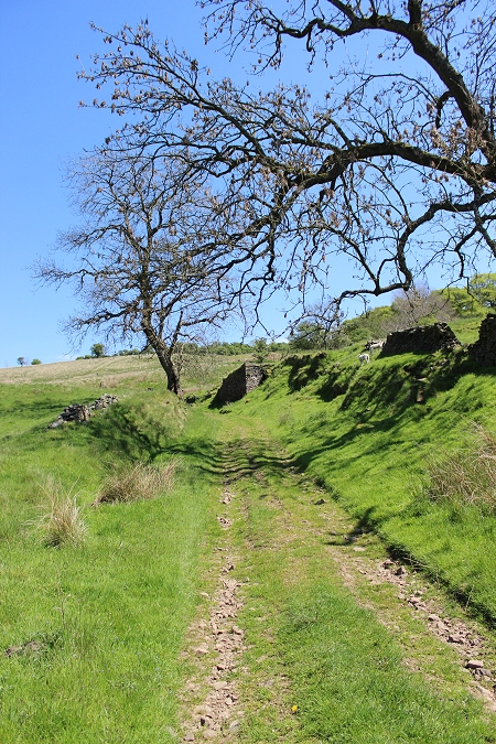
Left; Looking up the incline. Right: Looking down the incline where the goods yard spreads out.
Left: Up the incline towards the summit. Right: Down the incline towards Whaley Bridge.
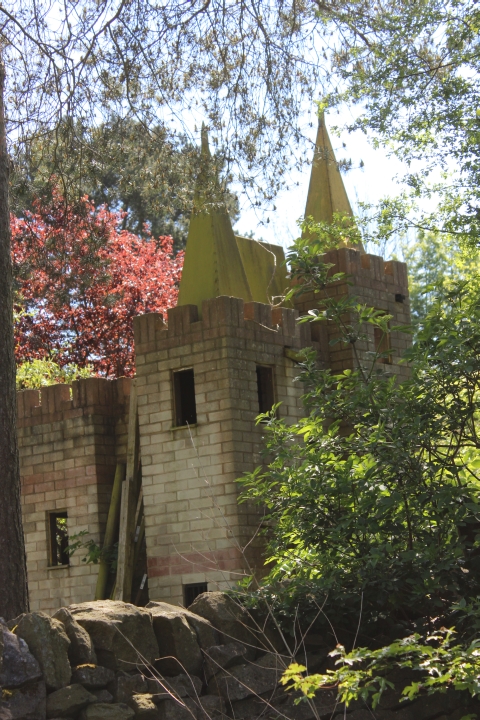
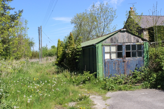
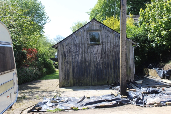
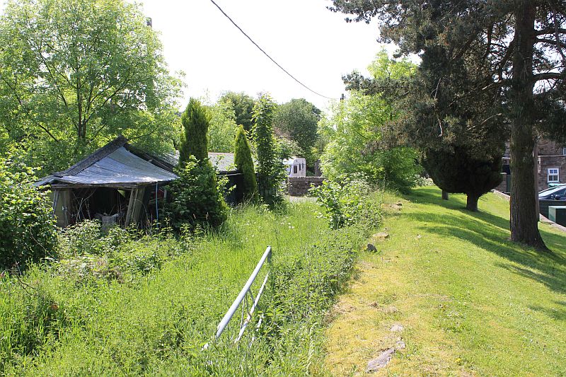
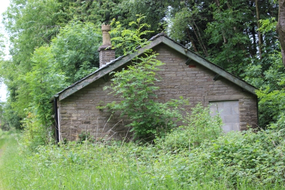
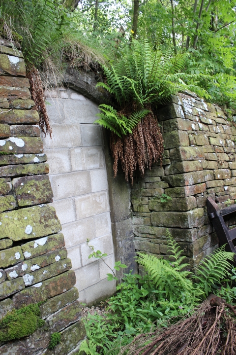
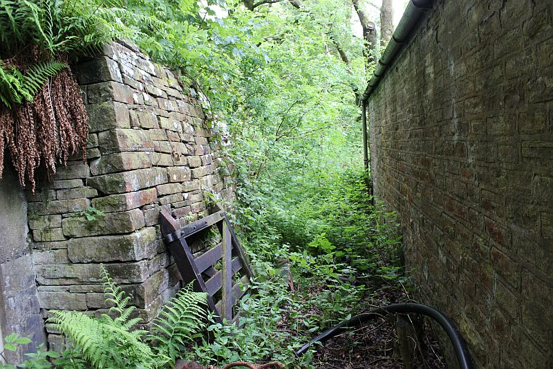
In a garden. An unusual garden house that probably will never get completed!
Left: Towards the summit. Right: The 'S' bend wouldn't have been there originally. The railway would have cut straight ahead to the summit.
At the summit The engine house was on the left where the modern house stands today.
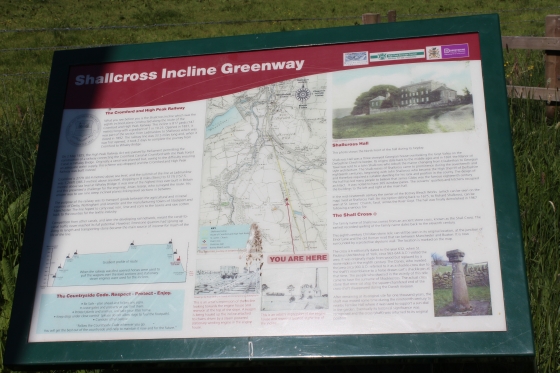
Left: From the summit, Whaley Bridge is seen in the distance. Right: The information board.
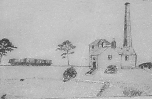
An artist's sketch of the engine house. (Cropped from above)
Left: The site of the reservoir for the Engine House at Shallcross summit. Right: At Shallcross Top. The Engine House stood to the right. (6th June 2016).
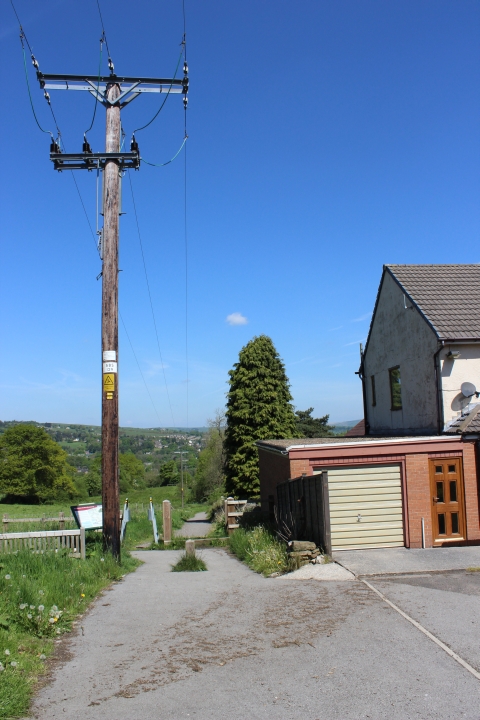
Left: The summit as it is today. The engine house would have been on the right. The electricity poles still remain running down the center of the incline.
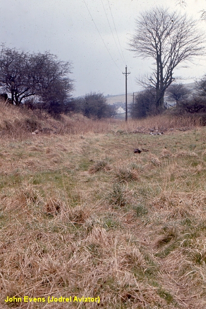
Right: The summit as when John visted the spot back in 1967. The houses, top right photo were not yet built. This shows you the full width of the track bed at this spot.
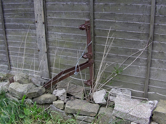
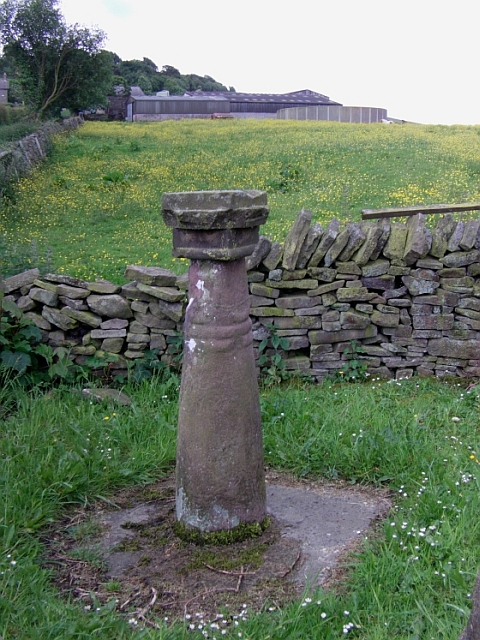
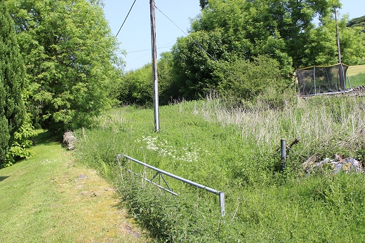
Left: Where the track bed carried on southwards. Now blocked. Right: The only remaining railway artifact is a wire tentioning post at the top (right) of the incline by the house fence.
Left: From Taxel View, turn left at this point for the narrow, overgrown path onto the track bed. Right. The path just before the overgrown section (Behind camera)
Left: Shallcross Summit as it crossed (Left to right) over Shallcross Road. The Engine House would have been situated around this spot. To get back to the track bed from here, walk down Shallcross
Road untl you meet the main road (Taxal View) and turn right (southwards) and walk beyond Shallcross until you come to a farm gate, which you cross over to meet the track bed once again.
=============================================
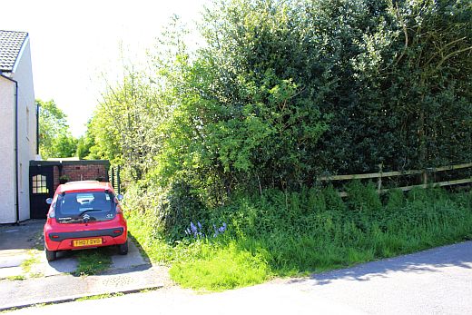
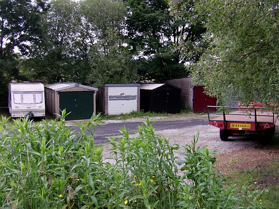
The alternative is to enter the left entrance just past the end of the houses (across from the Shallcross Cross) and go through the children's playground and again left to get onto the track bed. However,
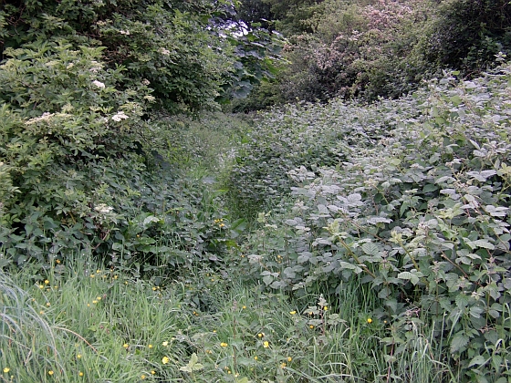
as you see from the external photos while walking along the road this section is heavily wooded and over-grown and can be difficult to get through and if wet very muddy and the long, tall grass will
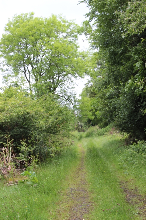
get you quite wet. The walk is within the treeline in the photo above right.
==========================================================
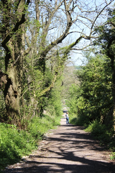
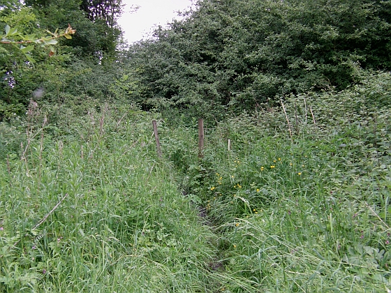
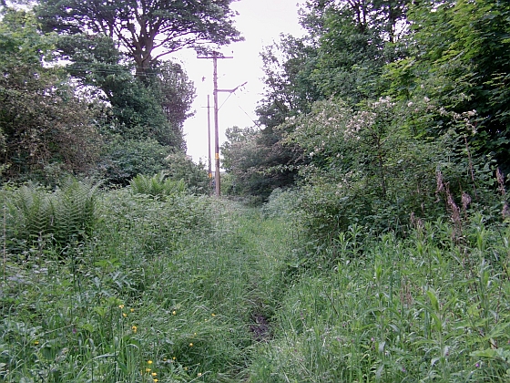
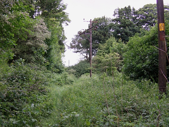
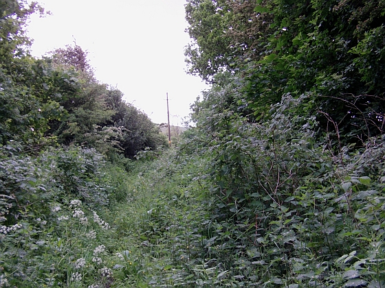
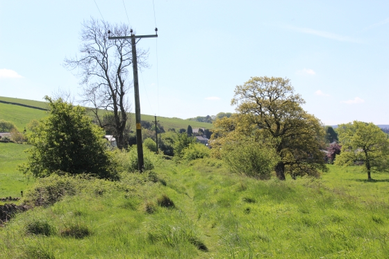
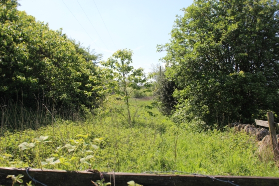
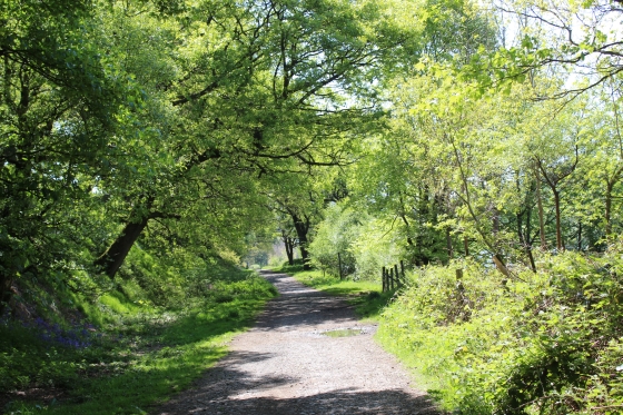
As mentioned above, I had another walk on the 5th of June and this time in reverse from Burbage Tunnel North to Whaley Bridge. The following group of photos is from walking over the north end of the track bed from
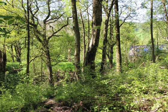
Fernilee to Shallcross Instead of walking along the road as previously. It is wildly overgrown and during or after some rain you can get quite wet from the overgrowth, as it was on this occasion. However, it is interesting
to add this short section to my walks. These still images were taken on my Camcorder as the battery died on my Canon SLR moments before. I have reversed the order to keep it going southwards following the
previous walk.
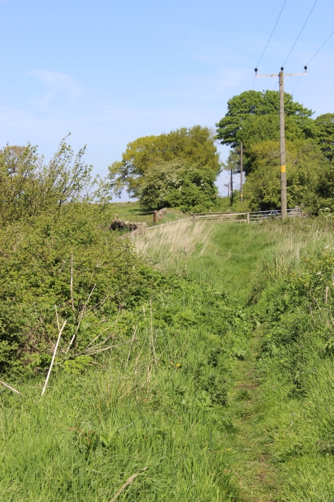
From Shallcross Top, walking down Shallcross Road and onto Elner Lane, turn right (South) up the hill until you come to the end of the housing scheme (On your right) to the junction of Old Road and Taxel View.
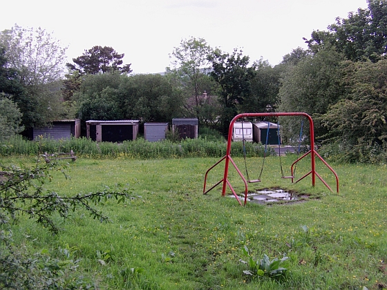
At the junction you will find the Shallcross tone, which is worth a few moments investigation. On the opposite side of Taxel View you will see an opening with Lock-ups and a children's play area. At the end of the
lock-ups turn left into the narrow path in the trees and follow that back onto the old track bed and continue south for Fernilee.
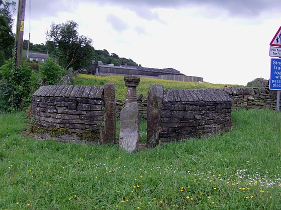
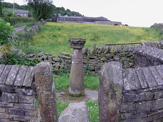
Left: The Cross, is protected by a circular stone wall. Right: Looking towards Fernilee. On the left is Old Road. Taxel View continues behind the wall on the right.
Immediately on the opposite of the troad (ding within a circular stone wall.
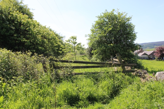
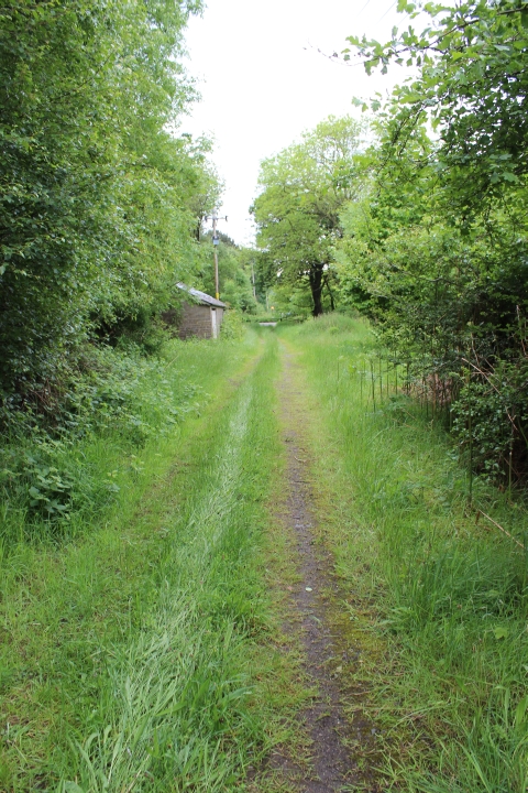
Left: Two posts mark the entrance back onto the track bed. Right: The overgrown track bed heading southwards.
(Right and below): The following views as you see the track bed walking along Taxel View to the field gate.
Left Ditto. The track bed here is wildly overgrown. Right: Taxal View (Elnor Road) Looking towards Fernilee. You come up to the farm gate, on your right, which you take to get back onto the track bed.
The track bed (left to right) as you approach it across the field. This was the site of a spur into a small quarry.
The site of the quarry spur that went off to the left and just beyond the cattle.
Left. The north side of the track bed. This is where exit if walking the wooded and over-grown track bed from the children's play area by the Shallcross stone.
Right: The track bed towards Fernilee. There is a second gate, which have to climb over.
Left: The view westwards from the track bed. Right: Back towards Shallcross and the fence you climbed over.
Left: Pleasant countryside. Right: The third fence, stopping you going directly to the old station site.
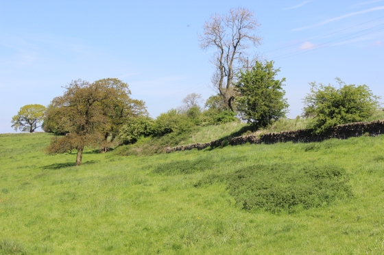
Left: This is a far as you can get and have to get over the wall on the right and cross the field to the main road. Right: From the the field looking back towards Shallcross.
Left: From the field. You can see the track bed, on the left, running towards Fernilee station site. Right: Same spot looking back towards Shallcross.
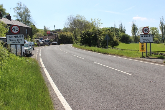
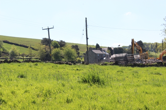
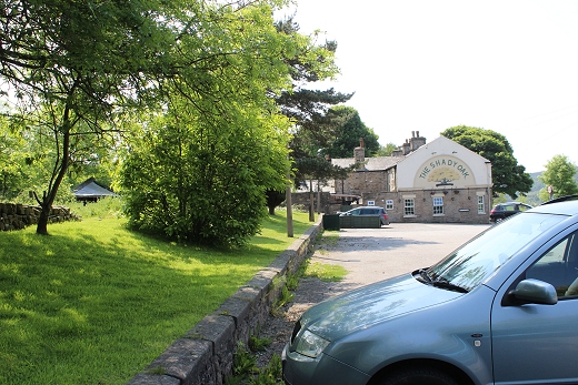
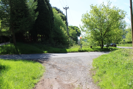
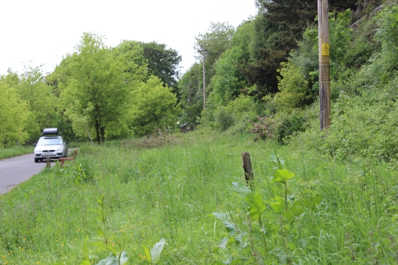
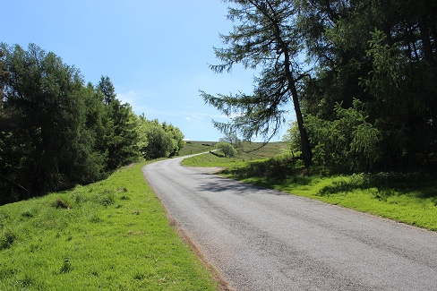
Left: Having got back onto the road The A5004 (Long Hill), you approach the northern boundary of Ferilee. Right: The old station site is just before you get to the Shady Oak Inn, just up ahead.
The winding road (A5004 Long Hill) running towards Whaley Bridge.
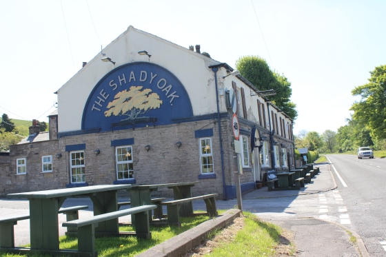
Left: The old station site by the Shady Oak. N.B. Side road where there was a level crossing. There is a bus stop here. Right. The station site, looking northwards.
Left: Track bed from the Ex Level crossing. Towards the station site and Whaley Bridge. Right: Ditto. Looking southwards. This is private land, which you can't walk through.
There is a side road between the station site and the Shady Oak that must have been a level crossing. These are the views from both sides of the crossing point.
=============================================================
New photos 6th June 2016
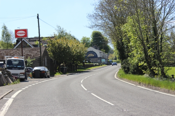
Remains of the station site by the Shady Oak Inn.
Left: From north end of the station site towards Shallcross. Right: From the same spot by the Shady Oak Inn, southwards.
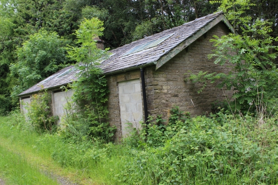
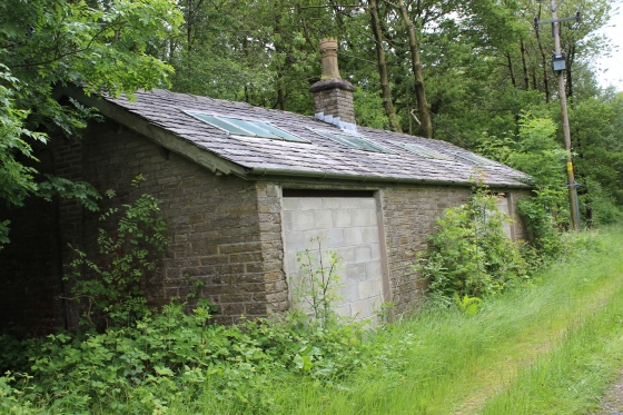
The old building by the track bed may be an original railway building!
Left: Behind the Shady Oak Inn. Left. Towards the site of the level crossing and Shallcross. I wasn't concentrating when taking this photo, which turned out leaning badly and has to be cropped and
straightened, hense the black border at the top. Right: Southwards towards where the track bed dropped below the main road. My thanks to the good folk at Shady Oak for allowing me to take
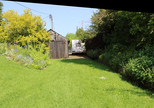
these photos. The caravans, which are rentable, are on the track bed.
==================================================
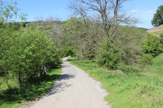
The railway south of the station went below the road via a short tunnel. You can't get onto the track bed as it is private ground for the next mile or so, towards the Fernilee Reservoiur. You have to
walk along the main road for a little way until you come to the junction of a narrow, steep road that takes you down to the Ex level crossing where the railway meets the reservoir.
The ground must have been back-filled along here as the railway approached from the south in a short tunnel at this point, on an incline below the road.
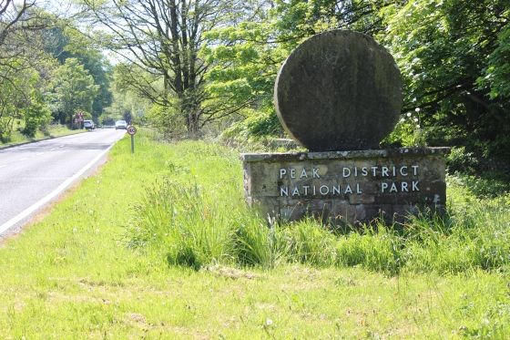
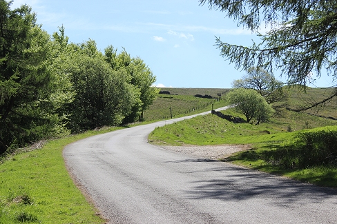
Left: After walking southwards through Fernilee you see the railway down below to your right just ahead of the tunnel. Right: Walk beyond the Peak District marker for another good half mile.
Turn left at the road junction and walk down the steep road that will take you to the reservoir.
.jpg)
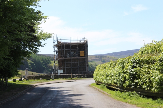
The overbridge at Fernilee in 1931. The bridge was demolished and the 85004 road was realined. (RCHS Media Archive).
As you progress you will see glimps of the track bed down below to your right. After the sharp right turn you will come up to the Ex level crossing site, seen here on in the right hand side.
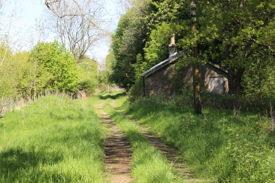
On the north side of the road there is an old railway building. Possibly a goods shed. You can walk up the track bed for a way but will come to the private home there and have to turn back. This led up to the
demolished 85004 overbridge.
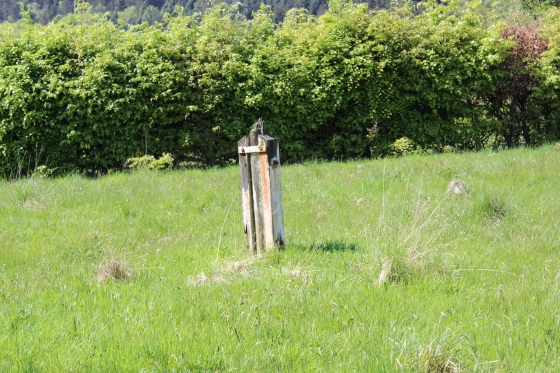
Left: Looking southwards over the Ex level crossing, towards the reservoir. Right: Just to the right of the car in the left photo you can just see a post to it's right. This was the only railway
way-side post that I saw over the route, as far as I walked.
THURSDAY 5th June 2014 Visit
On this visit I took the opportunity of walking along the north end of the track bed and checking out the old railway building and on how far you can get before the farm that blcoks the way through to Fernilee.
It is an interesting and larger building than you expect and at the rear there are two blocked-up entrances into rooms that were cut into and below the road embankment. It would be interesting to learn what
these were used for.
Left: The side door on the right suggest a possible track going inside. Right: Each of the rooms had enough top-light windows to give good daylight inside.
From the old building up to the dead-end at the north end of this section. There is a
gate in the far distance stopping you entering the private farm.
The two blocked entrances that tunneled below the road. 4114
I was surprised to find these were-built entrances into what appears to be two store rooms of some sort.
Left: As far as you can go. Towards the road bridge at Fernilee. Right: Looking back towards the level crossing site.
=============================================================
Also from my June 5th walk I have added these photos showing the track bed as it ran from the north end of the reservoir up to the level crossing. This shows that the
track ran on the right side of the present path up to the level crossing site.
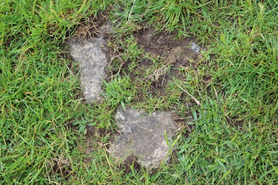
Left: The present path on the left. Right: A stone sleeper shows through the grass.
The path of the track bed is clearly seen, heading straight for the level crossing site.
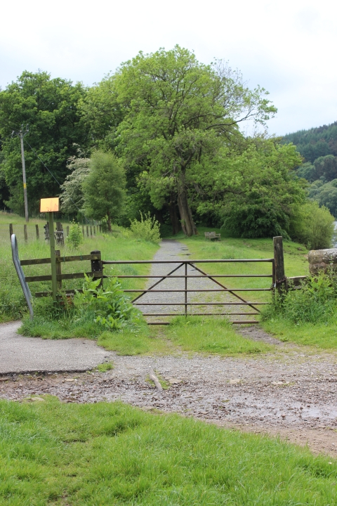
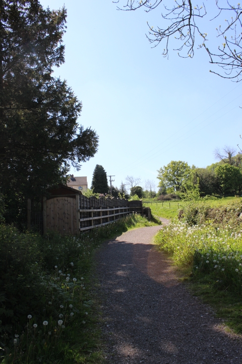
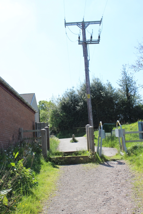
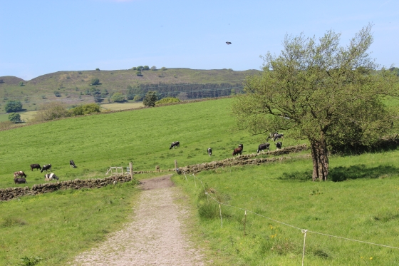
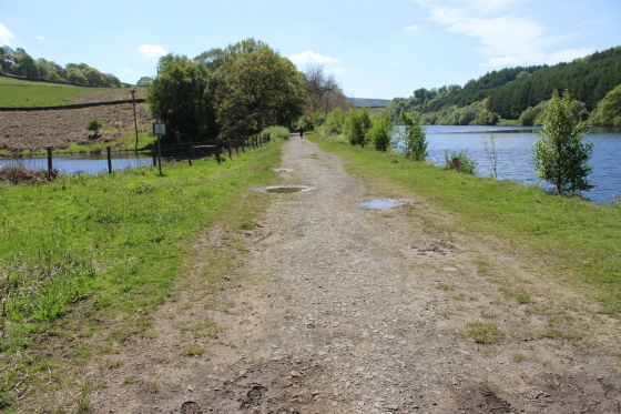
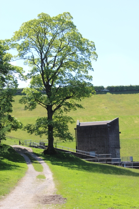
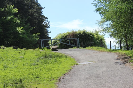
Left: The track bed from by the reservoir. Right: Because of the car park the track bed from the reservoir to the bottom of Bunsall Incline is gated to stop vehicles using it.
======================================================
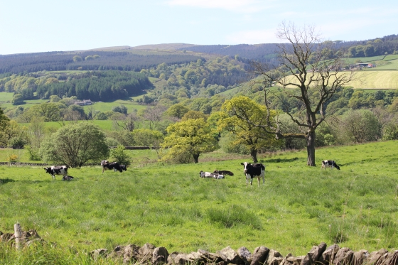
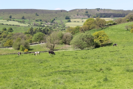
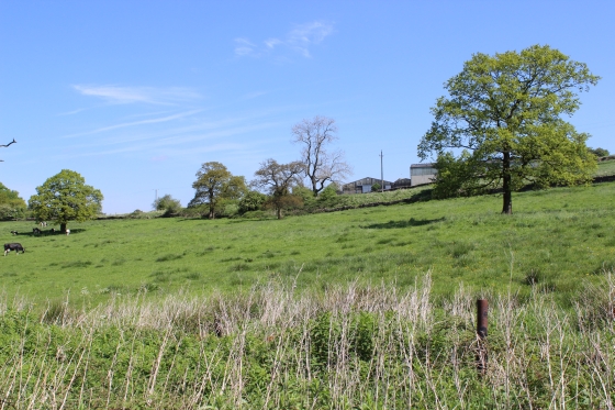
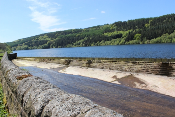
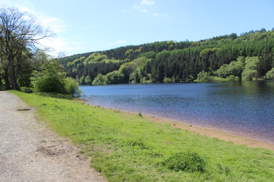
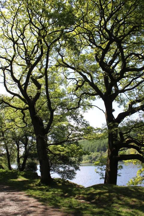
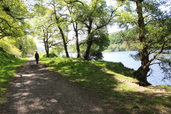
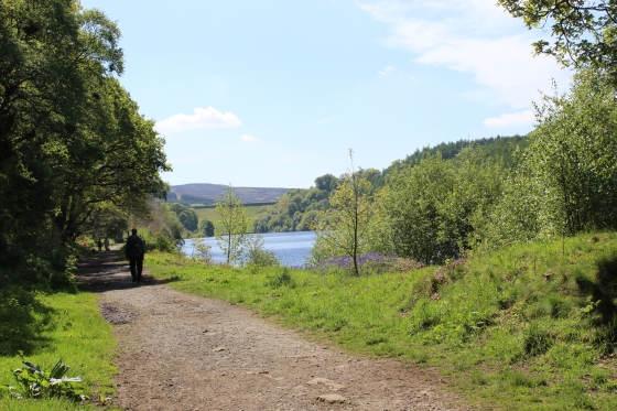
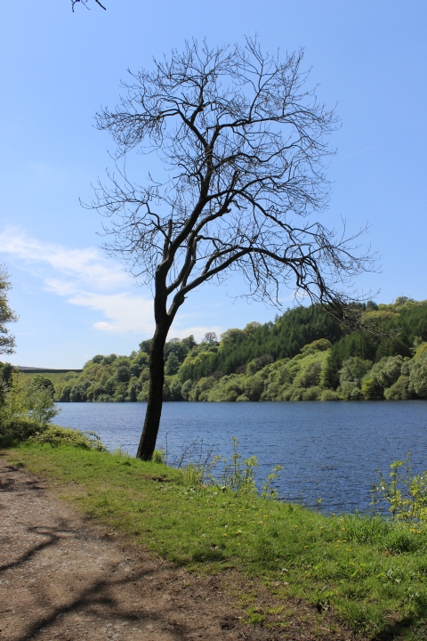
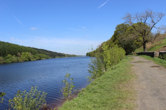
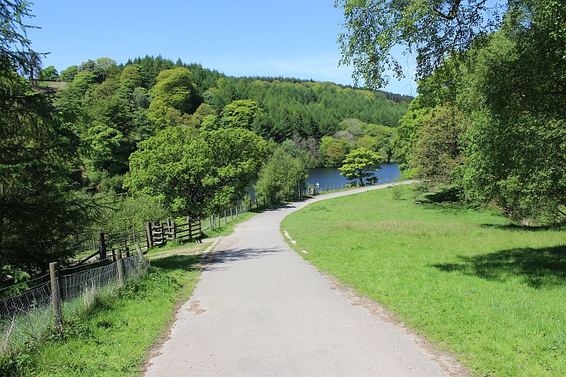
FERNILEE RESERVOIR
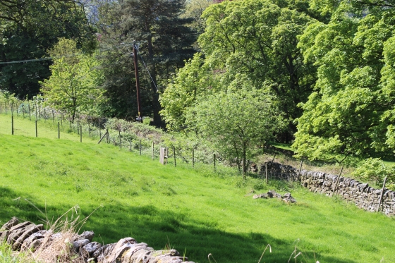
The track bed ran down the full length of the eastern side of the reservoir, albeit the reservoir never existed when the railway was in operation and
would have looked quite different to the trainmen.
There is an interesting old film of the Goyt Valley before the reservoirs was built, at:
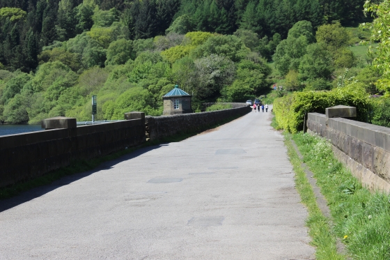
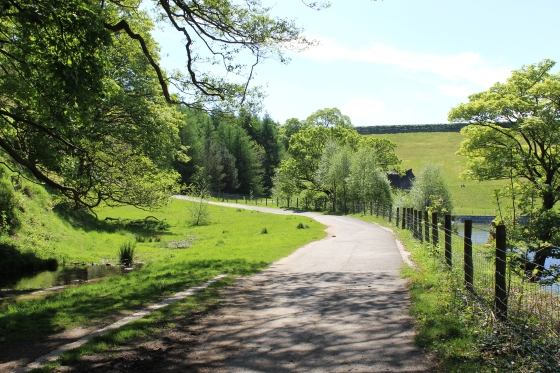
The road-way running across the northern end of the reservoir. Right: The sluice where water is led off into the water cleaning plant.
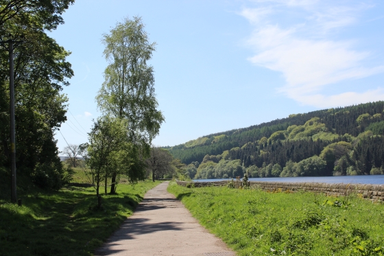
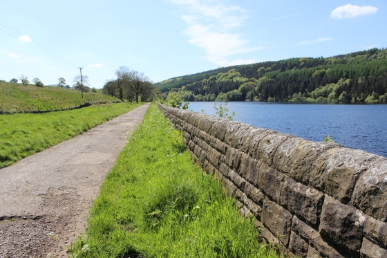
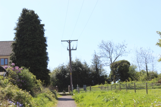
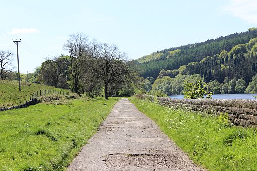
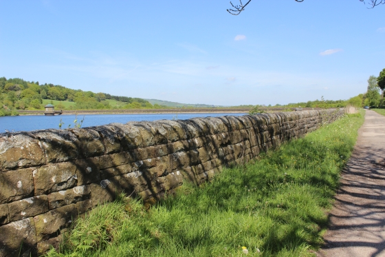
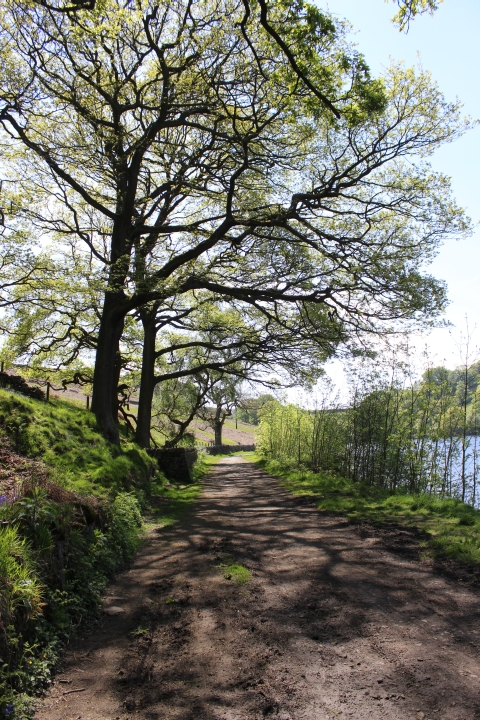
While it is a long walk down the side of the reservoir there are seats spaced out along the way to give you a rest.

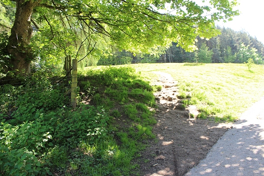
Left: The site of a turning point for the local quarry near by.
============================================
Side path to old Explosives factory site.
This path leads up the steep side of the hill to the A5004. The factory was the site of an explosion in the 1800's where two workers lost their lives.
======================================
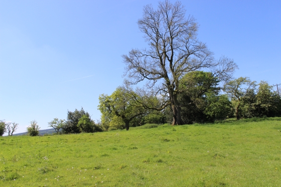
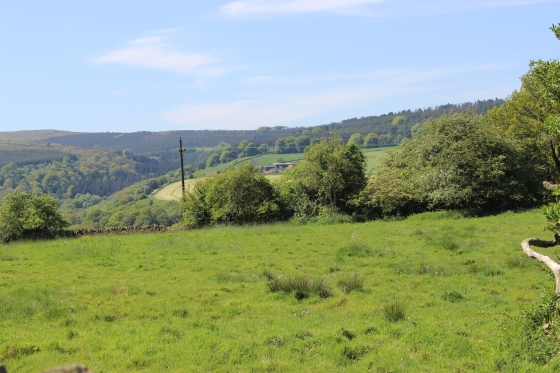
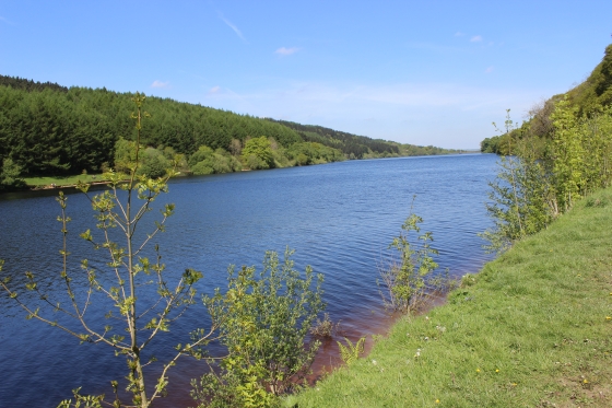
Left: Looks like a small beach but this is a fresh water reservoir and no paddling or swimming is allowed. Right: Continuing southwards.
This must be a pleasant walk during all four seasons of the year. Left: Northwards. Right: Southwards.
Left: Interesting stone post! As they go back well before the reservoir was built there may well have been a path leading down into the valley. Right: Approaching the smaller fresh water reservoir, on the left.
The two posts is where the track road dropped down the valle, over the Goyt Bridge and on up the other side of the valley. This can be seen during the times that the reservoir is drained for a general clean-up.
photo of drained valley
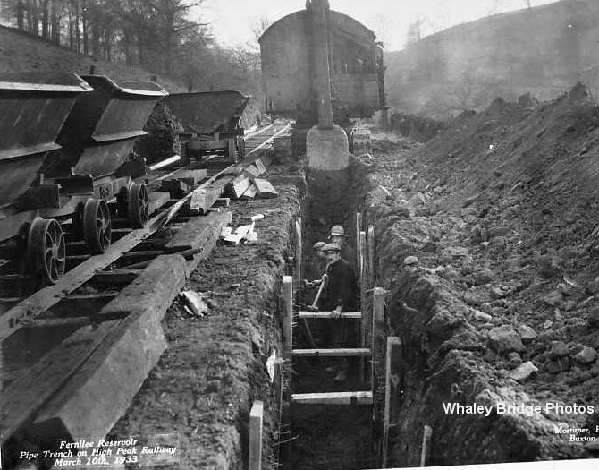
As the reservoir didn't exist when the line was open the scene would have been quite different to the train crews than it
is today. However, when the reservoir was being built in the 30's they actually dug up the track bed to lay utility
lines/pipes. A temporary length of track was also laid. Check out the numerous photos of the reservoir building work
at Whaley Bridge Photo web site.
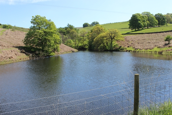
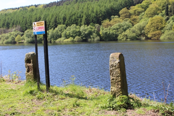
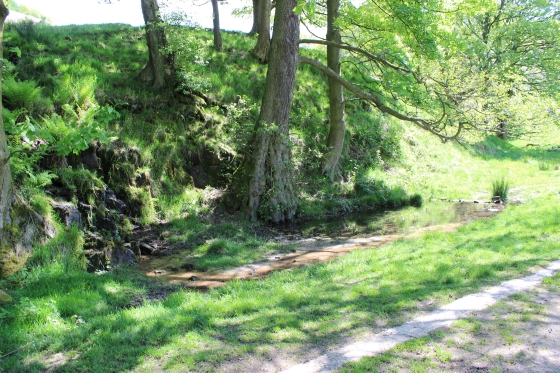
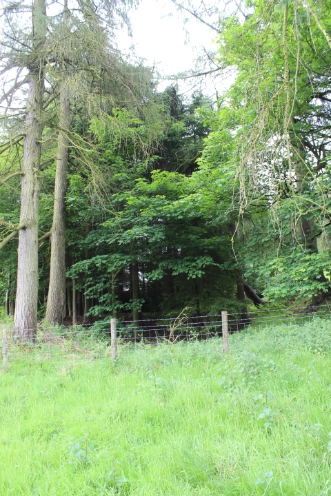
This small reservoir on the east side of the track bed is fenced off as this is water to be filtered as drinking water for the area.
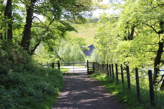
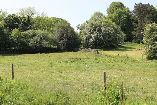
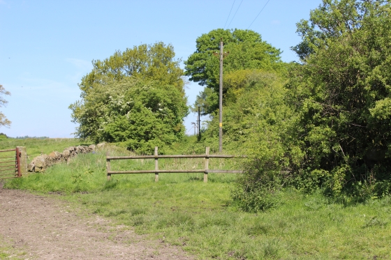
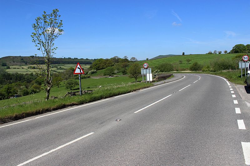
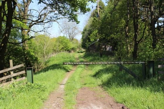
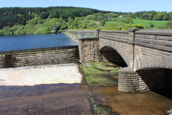
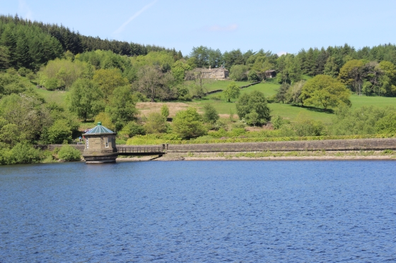
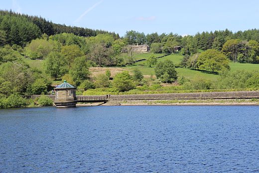
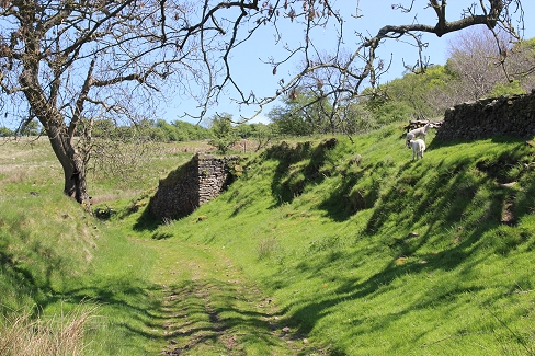
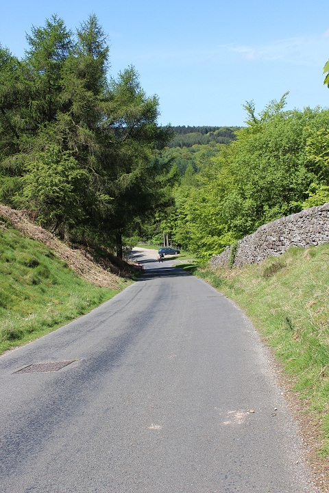
Approaching the end of the reservoir and the start of the first Bunsall Incline. The incline starts immediately at the curve and climbs at 1 in 7.
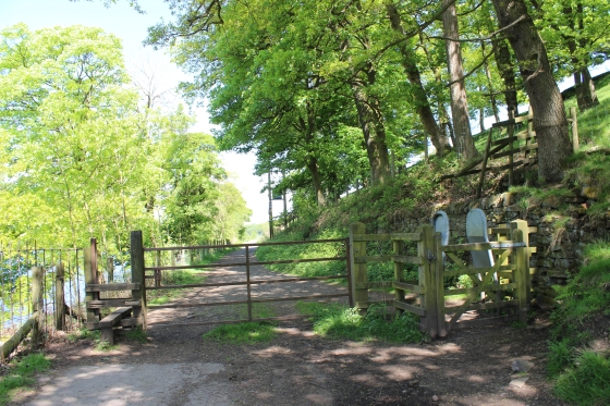
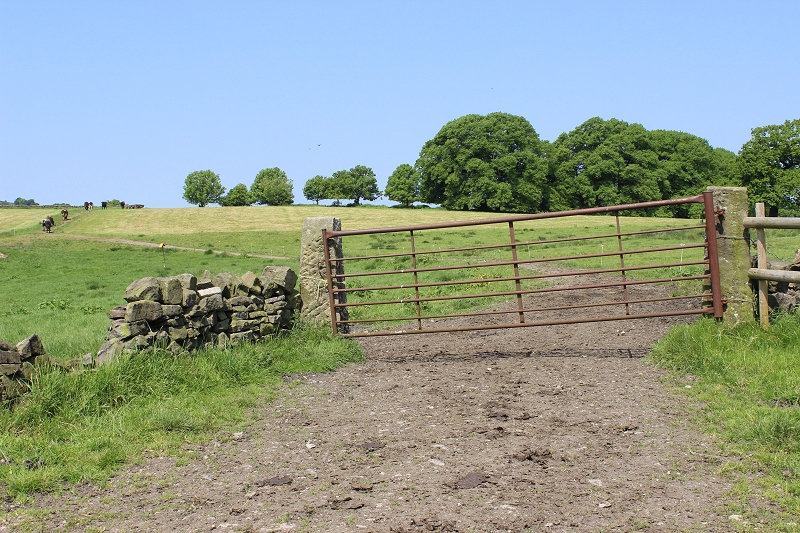
Left: The gates stopping traffic from going onto the track bed. Right: There would have been a building and a wire-wheel pit around this spot, at the base of the incline.
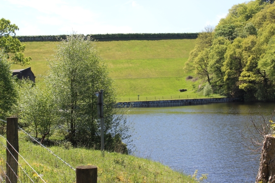
The incline curves off steeply to the left while on the right is the end of the Fernilee reservoir and the dam separating the two reservoirs. Right: The rising ground is the dam holding back Errwood Reservoir.
Left: The incline becomes steeper with each step. Right: The pump house at the south end of Fernilee Reservoir. Behind is the mound separating
the two reservoirs. The north end of Errwood Reservoir is behind that.
Bunsell Bottom (On the right) Where wagons were as attached/detached from the wire of the lower incline.
Looking back towards the reservoir from the lower part of the incline.
Left: Ditto Right: Looking straight up the first incline. It is fenced off and very overgrown. (5th June 2014).
Left: The incline continued up to the first level, on the far left, while the modern path takes you up to the road by Errwood Reservoir. (Right-hand Photo)
Left: The top of the first level, with the incline continuing down to the base by the reservoir. Right: The incline from bottom to top. This is impassable. However, the walking path continues up the
right-hand side to the Errwood Reservoir. (5th June 2014)
The steep climb by-passing the incline up to the to the road. Errwood Reservoir is a little to the right. Bunsall incline to the left.
Left: Errwood Reservoir Pump House. Right: Fernilee Reservoir from top of first Bunsall Incline summit.
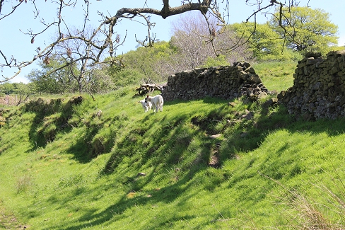
Both: The base of Bunsall second Incline. Left: The incline dropped down through the trees on the far left. Right: the 1 in 7 climb is obvious from the start.
The hut is a toilet block. It stands on what was the level at the top of the first incline, where wagons were attached and unattached from the pulling wire. You can see how the ground level of
the track bed has been back-filled up to the top of the bridge level and the road formed towards the Irrwell Reservoir.
The stone marker at the base of the second incline.
This is as far as I went on this walk and returned back to Whaley Bridge.
========================================
TO: BUNSALL BOOTOM TO BUNSALL TOP
=====================================================
My Thanks To......
Whaley Bridge Photos for their kind permission to use old photos of the Whaley Bridge to Shallcross section. These and many old photos of Whaley Bridge can be viewd at:
http://www.subn.org/whaleybridgephotos/trains.php
John Evens (JodrelAviator) for the use of his xcelent colour photos of the C&HPR in the 60'd & 70's. John's Fickr photods are at: https://www.flickr.com/photos/the-evanses
John Neave for his kind permission to use a number of his 1960's photographs when the railway was still in operation. Check out John's ''Going Loco'', which includes a C&HPR history. At....
http://goingloco.neave.com/
Mark Norton for the use of 1940's photos by his late father Dennis J. D. Norton. http://www.photobydjnorton.com/CHPR_Menu.html#Links
To the son of Geoff Plum for the use of his late father's phots. Plumb Loco is at: Plumb Loco (By Geoff Plum) Photograhs
Reading: The Cromford & High Peak Railiway by John Marshall. Published by Martin Bairstow. Printed by The Amedeus Press 2011.
Other Railway Walks....
The Dundee & Newtyle Railway The first passenger railway in Scotland opened in 1831, which had three inclines operated by stationary steam engines. The main source of income was from
the numerous stone quarries in the area and local farming produce. Passenger numbers were always sparse.
The inclines were abandoned in the mid 1800's by new deviations that allowed through locomotive running.
The line also included the Dundee Law (Hill) tunnel built at 300ft above the City. Both the north & south portals of the tunnel are buried below modern housing schemes.
Passenger services ended in 1955 and the line closed completely in the mid 60's under the Beeching Ax.
Unlike the C&HPR none of the Engine houses were preserved. The inclines can still be followed but sections have been back-filled or ploughed over
This web site tries to cover as much as possible.
Boddam To Ellon Branchline Built by the GNSR in the latter part of the 20th century. The passenger service only lasted until 1934 but goods remained up to total closure in 1949.
The GNSR built a large Golf course and Hotel at Cruden Bay, with an electric tramway between the station and hotel. All that remains today is the Golf course. One of thetwo elctric trams has been
fully renovated and is on show at the Grampian Transport Musem in Alford.
Other web pages....
Kittybrewster Memories Kittybrewster Loco Depot, Aberdeen.
Tivoli Memories The Tivoli Theatre, Aberdeen.
Hosted by www.theatreorgans.com
This page brought to you by:
VintageHammond.Com - We Buy-Sell-Trade Vintage Hammond Organs